by Mike Godsey, Indecisiveness I have inserted my forecast for today June 11 in this image so that you can see the indecisiveness in my forecast. The reason for this is that the San Francisco Bay Area is right intersection between 2 massive weather systems. First let’s take a close up view first to see the forecasting…
Yesterday, March 22, saw strong winds in the El Sargento to Los Barriles area. These wind developed as the North Pacific High created a solid pressure gradient down the length of the Sea of Cortez. Today the North Pacific High is in the same location and same strength and continues to send strong northerly wind…
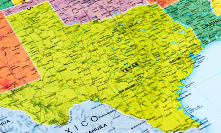
WeatherFlow’s Pro Forecasts are starting back up around the country and we are happy to announce that we are adding several new regions to the lineup! WeatherFlow will now be providing expert weather prediction for Texas, focusing on the coastal areas of South Padre Island, Corpus Christi, and Houston/Galveston, but to include other areas, such…
by Mike Godsey, mike@iwindsurf.com & Matt Sounders A few days ago I wrote a blog about the strange Cut-Off Low at ≈ 18,000 ft. feet between Hawaii and Baja that was tracking towards San Francisco where it would bring epic winds. Then how the Cut-Off Low would create explosive winds for the Gorge First –…
by Mike Godsey, mikeATiwindsurf.com Did you notice fast the sky changed today from crystal blue to cloudy? That event is something we have been forecasting for days. Clearly, something is about to happen. Remember the old days when it seemed that wind was just about the pressure gradient? And while the forecasts were crappy more…
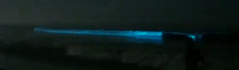
by Meteorologist Kerry Anderson, Video and photography by Taro Amano. Last night I stood on the sand at Zuma Beach and witnessed the greatest light show I have seen (sorry Disney, nature trumps anything you can produce). The combination of a full moon and light eddy circulation made for perfect conditions to view bioluminescent algae…
Winter of 2019-2020 vs. the NPH vs the unusual 4 corners high pressure. When it comes to mild winds in the mid to weak upper-teens wind Baja’s East Cape has several wind machines. These include 1. the mild local sea breezes created by the inland valleys. and 2. The mesoscale winds from the cooler Sea…
by Mike Godsey, mikeATiwindsurf.com Today’s forecast winds hinge on the holes you see in the satellite imagery below coming over the inland valleys so that heating can produce a local pressure gradient to cause the slightly offshore NNW winds to curve into the beaches.
The winter 2019-2021 season in Baja was atypical in a number of ways. It started off with a bang in November but from that point on the winds were often unreliable unless you were on foils or big kites or sail. Or if you were there during one of the few strong wind periods. But…
by Mike Godsey, mikeATiwindsurf.com Pretty good wind quality for La Ventana today as the morning clouds in far Los Planes Valley cleared allowoing the local pressure gradient to climb helping the sea breezes and encouraging the El Norte winds to reach the beach. You can see this clearly in the animation today Dec. 21! But notice…