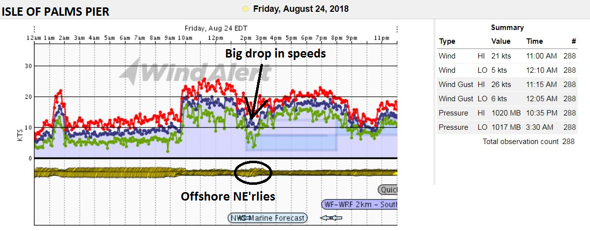
Blog by WeatherFlow meteorologist Shea Gibson 8/25/18 Concerning yesterday’s drop in winds and shift offshore along the Charleston beaches, there was a solid ENE build near 20kts that dropped significantly for locales north of the Charleston harbor entrance and slipped offshore a bit. When something like this happens, there is usually a “short wave” involved…
By WeatherFlow meteorologist Shea Gibson Here is my latest comprehensive look at Subtropical Storm Alberto and its future forecast. Shea Gibson WeatherFlow Meteorologist/Wind Forecaster Outreach & New Station Projects SE Region/East Coast Twitter: @WeatherFlowCHAS
By WeatherFlow meteorologist Shea Gibson 5/12/18 One of the great things about the new GOES-16 satellite imagery is the ability to see microscale events in high definition far beyond our coast to the east over the Atlantic ocean. Check out these ripples called “von Kármán vortex streets” created from NE flow across the Cape Verde…

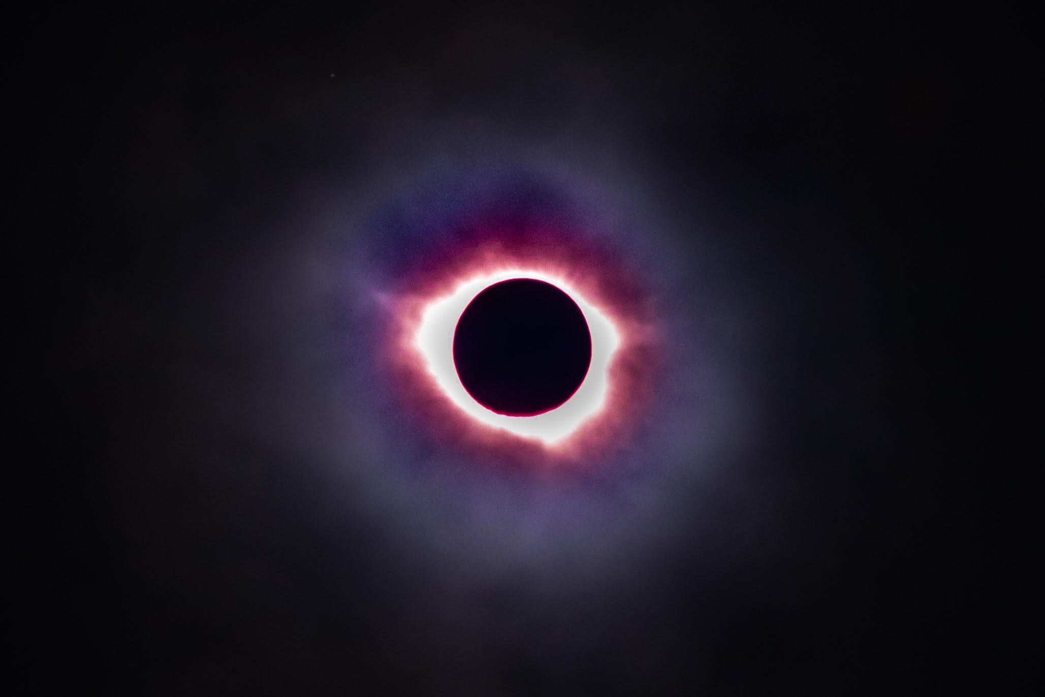
By WeatherFlow meteorologist Shea Gibson There is no doubt how cool the Eclipse 2017 was for folks that lined up in its path to see. I was one of the fortunate ones along coastal SC that was able to get a good view of it..and WOW! It was quite the experience! I was at front…

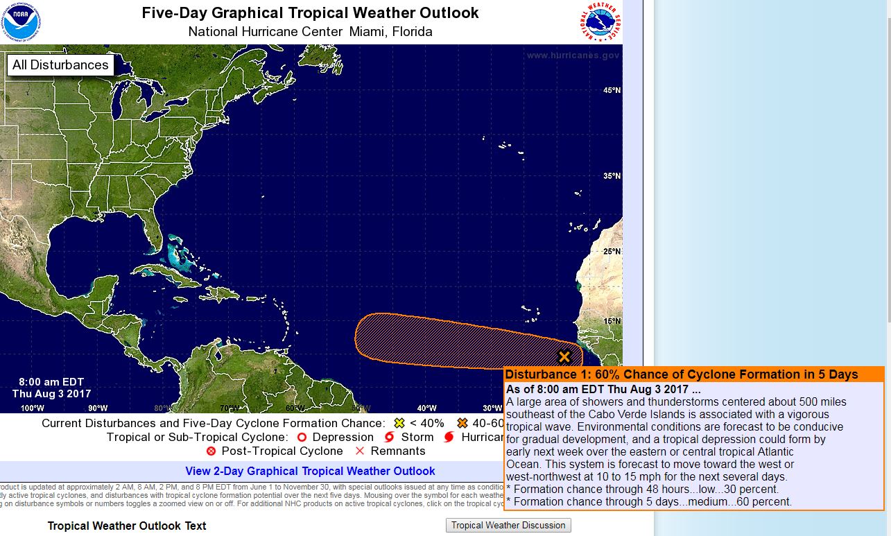
By WeatherFlow meteorologist Shea Gibson 8/3/17 Tropics Update: The Cape Verde season is getting underway…with the NHC 8AM update giving a strong tropical wave coming off of Africa (#Invest99L) a 30% chance next 48hrs for development….and a 60% chance next 5 days. A break in the Saharan Air Layer (mid level desert dust) and a…
By WeatherFlow meteorologist Shea Gibson Check out the GFS (American model) short to medium range forecast for the North Atlantic Ocean out to 384 hours (16 days). Notice the “H” bouncing around out there. This is the Bermuda-Azores High that waxes and wanes back and forth almost all summer long (and much the year). This…

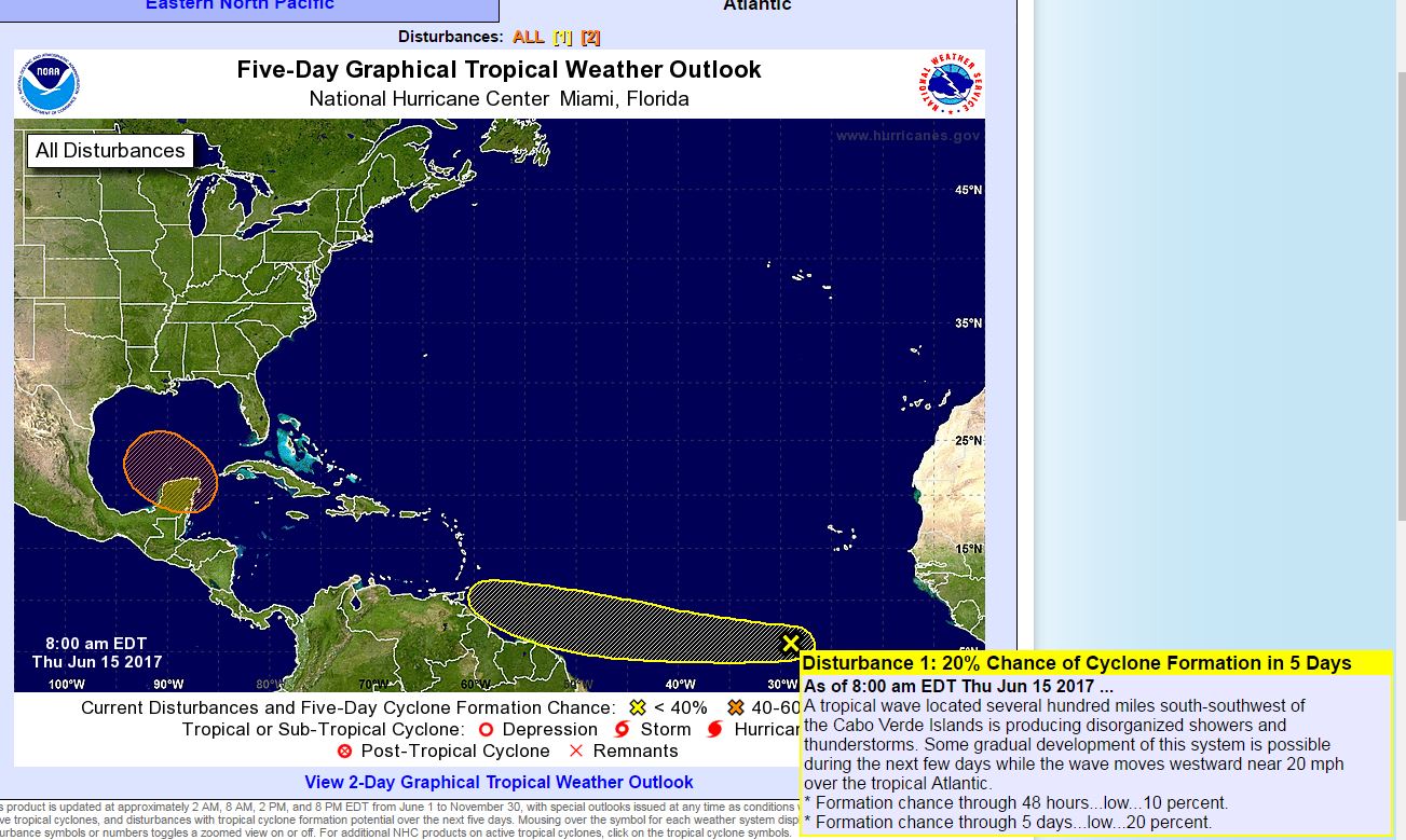
By WeatherFlow meteorologist Shea Gibson The start of the Atlantic Basin hurricane season is June 1st and goes through November 30th each year. Typically, we might see a few small homegrown or near coastal systems develop along tail end of cold fronts…or warm, moist easterly trade winds helping spawn a few tropical waves into the western…
by WeatherFlow meteorologist Shea Gibson Ever wonder when you are at the beach that all of a sudden winds seem to come out of nowhere on a perfectly sunny day? Well, the land-sea interface of the SE Region is a very sensitive atmospheric environment and has a few tricks up its sleeve. One of them…
By WeatherFlow meteorlogist Shea Gibson. There is a bit of a pre-season area of disturbance to be watching for in the tropical Atlantic basin… We are watching this area for Sunday through Tuesday in the western Atlantic as models are coming into more and more agreement for possible tropical activity. The area in question has…

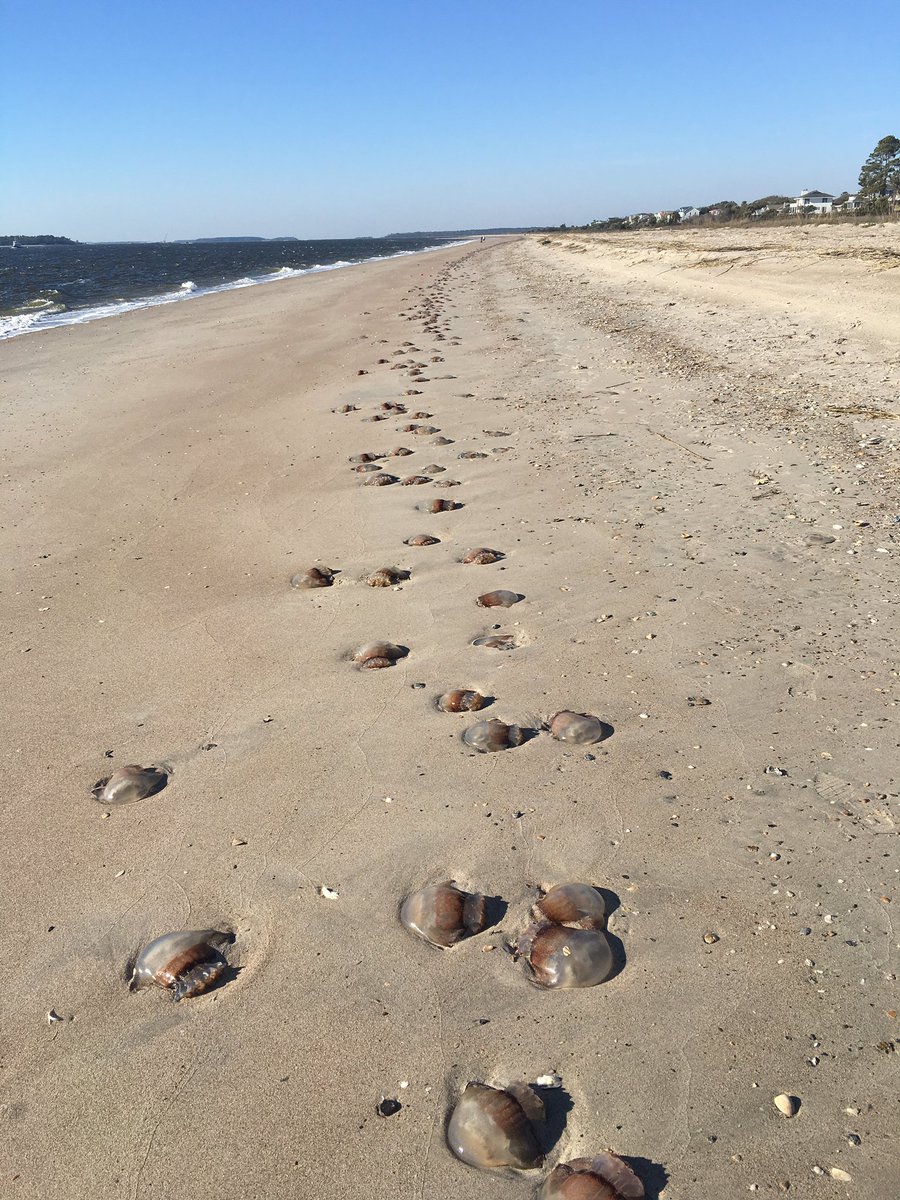
By WeatherFlow meteorologist Shea Gibson on February 22, 2017. Here we are again with the annual Cannonball Jellyfish update – in February! This year has been quite the anomaly with warmer air temps than normal all the way into late February (4th warmest January on record). Basically, Spring has started to show early this year…
