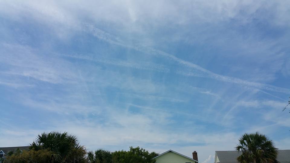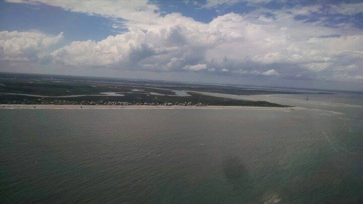
by WeatherFlow meteorologist Shea Gibson Sullivan’s Island/Isle of Palms, SC on Wednesday, August 5, 2015. When we talk about Sea Breeze return flows, we have to think about what a giant wheel would look like from a side profile. Here is the basic schematic of the Sea Breeze, where you can see where the return…
By WeatherFlow meteorologist Shea Gibson Watch as Piedmont troughing/storming helps increase the Sea Breeze by providing stronger return flow up high over the ocean as storms move from WNW to the ESE.

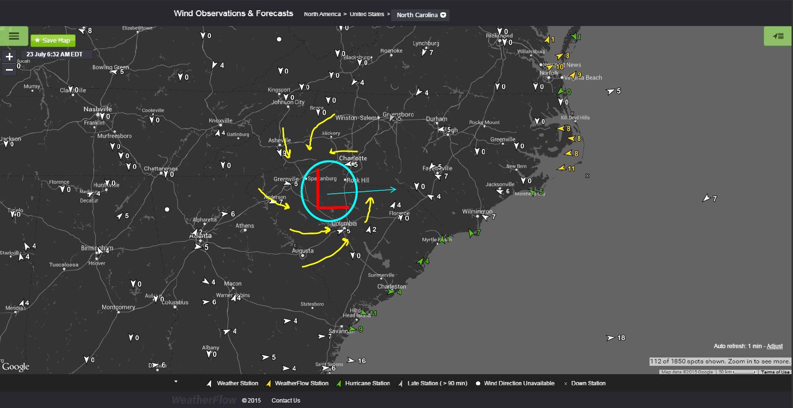
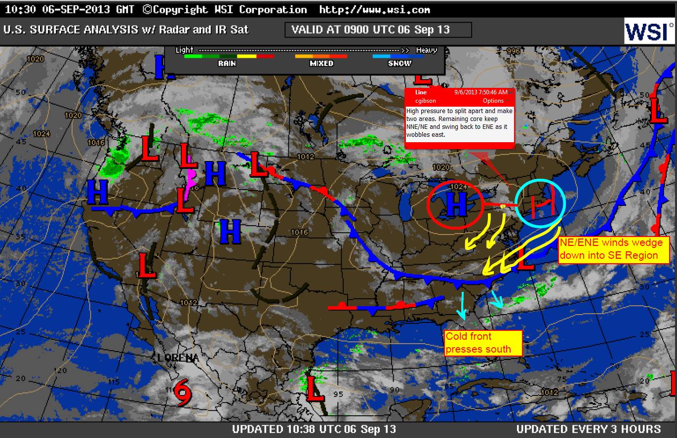
By WeatherFlow meteorologist Shea Gibson As we are seeing an undulating front ripple through the SE Region, we always have to watch for Low pressures tracking along them to become better organized. With High pressures to the north and to the south, the rotational profile increases to help them develop. Once they enter the ocean,…

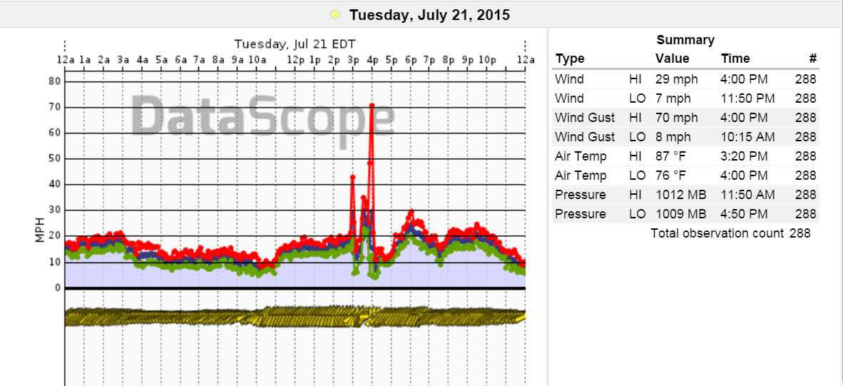
By WeatherFlow meteorologist Shea Gibson July 22, 2015: We saw a very rapid intensification of a thunderstorm breakout as areas of convection met the urban heat of downtown Charleston and industrial zones just to the north. The general flow at all levels for the day was West to East except at the coast where we…

By WeatherFlow meteorologist Shea Gibson. In Part I, we discussed the general understanding of how Sea Breezes work. In part II, we will look at the different classifications of Sea Breezes and how each one works. In order to fully understand the “Is there only one kind of Sea Breeze?” question – and since they are…

By WeatherFlow meteorologist Shea Gibson on June 30, 2015. In this blog series, we explore the vast realm of Sea Breezes. What are Sea Breezes? How do they work? What would they look like if I could see them? Is there only one kind? How do you forecast for them? These are the questions we…
By WeatherFlow meteorologist Shea Gibson After moderate and free flowing Sea Breezes from Thursday, June 11th to Saturday, June 13, Appalachian High pressure has built to the west and is working with Atlantic High pressure to place a large heat trapping dome over the SE Region. Here is some perspective in a YouTube video explaining…

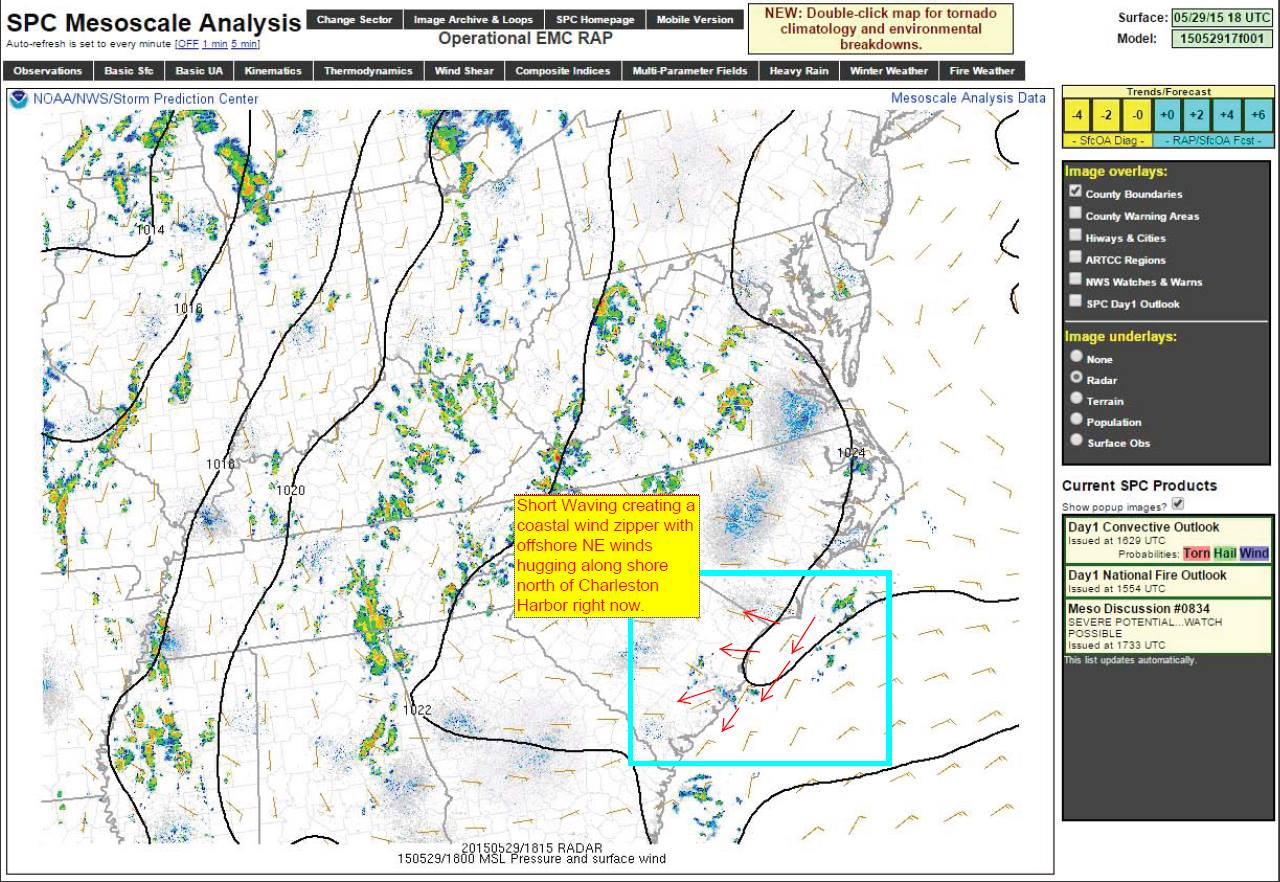
by WeatherFlow meteorologist Shea Gibson. A “short wave” or “shortwave trough” by definition from NOAA is, “A disturbance in the mid or upper part of the atmosphere which induces upward motion ahead of it. If other conditions are favorable, the upward motion can contribute to thunderstorm development ahead of a shortwave trough.” They tend to…

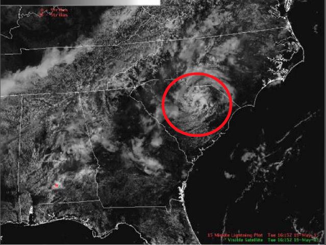
by WeatherFlow meteorologist Shea Gibson On May 19, 2015, the US National Weather Service in Columbia, SC tracked this on the visible satellite. You can see the Low spin out of what looks like just a small area of clouding; however, this was not the case. Surface circulations were already at work ahead of the…
