Mike Godsey
Forecast Decoder: March 31, 2024
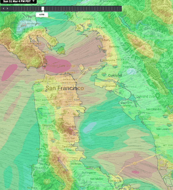
Link to full 7:30 AM forecast for each site.
Today, the North Pacific High’s surface NW winds really ramp up west of the Farallon Islands (18 miles west Gate).
Sadly, the storm tracks further down the coast and ends up near Southern California.
This produces an N. to S. pressure gradient rather than the typical gradient towards the Great Basin as a storm moves east. This makes the ocean winds near the coast in the AM and early afternoon more NNW rather than the typical NW. This, in turn, delays and weakens the clearing winds that often follow the departure of the storm as the North Pacific High moves towards the coast.
Still, a portion of the strong NW ocean winds enter the Bay. but the strong winds are mostly just outside of the Coyote and 3rd launch sites.