Forecast Decoder by Mike Godsey:
Yesterday, Matts’s forecast, somewhat cryptically, talked about an overly-friendly North Pacific High.
Remember the old cliche about “Too much of a good thing”?
Normally having a smallish winter-sized 1-2000 mile-wide North Pacific High near Baja is good for the Sea of Cortez winter winds.
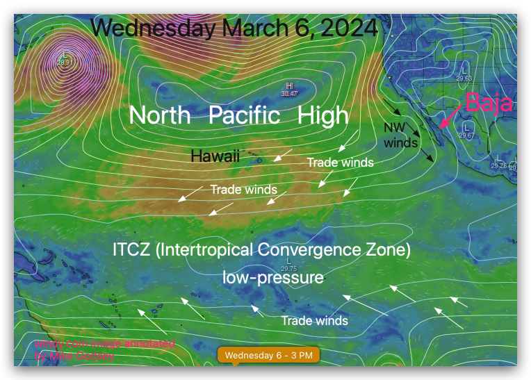
But as spring approaches and the ITCZ begins to drift northward (google the jargon ; ) the NPH swells in size, and its average position begins to drift northward. As the NPH swells its isobars which represent the pressure gradient move closer to Baja so the NW ocean winds pick up over the Pacific side as do the Hawaiian easterly Trade Winds. You can see this in the model graphic for this coming Wednesday, March 6.
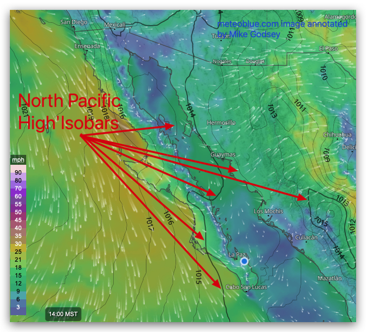
But if the North Pacific High becomes too big it swells over Baja into mainland Mexico.
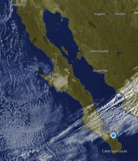
You can see this in the model image for today March 4. Hence my forecast for today has most of the modest wind coming from heating in Coastal Valleys. IF the clouds you see in this last image fade away as I am forecasting.