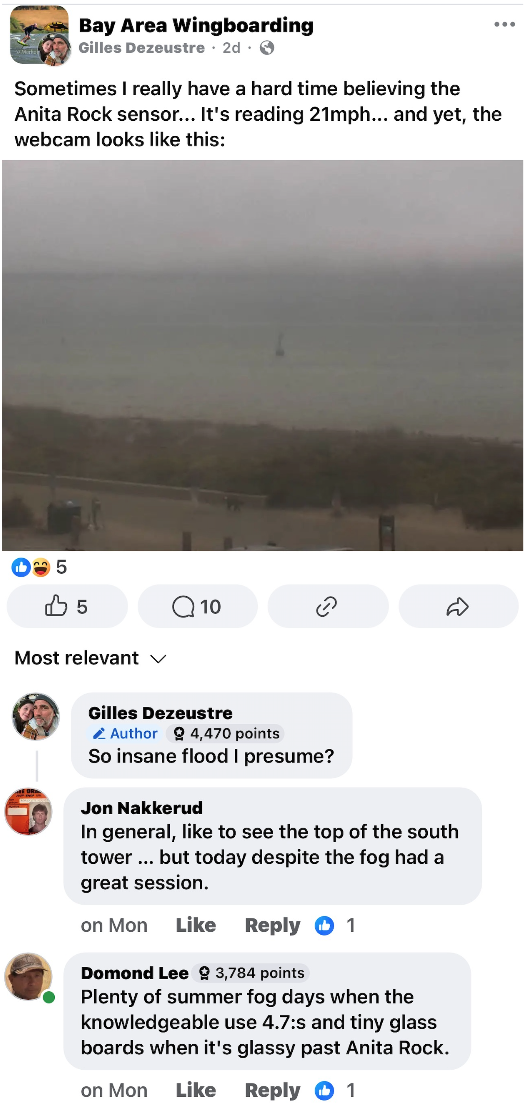
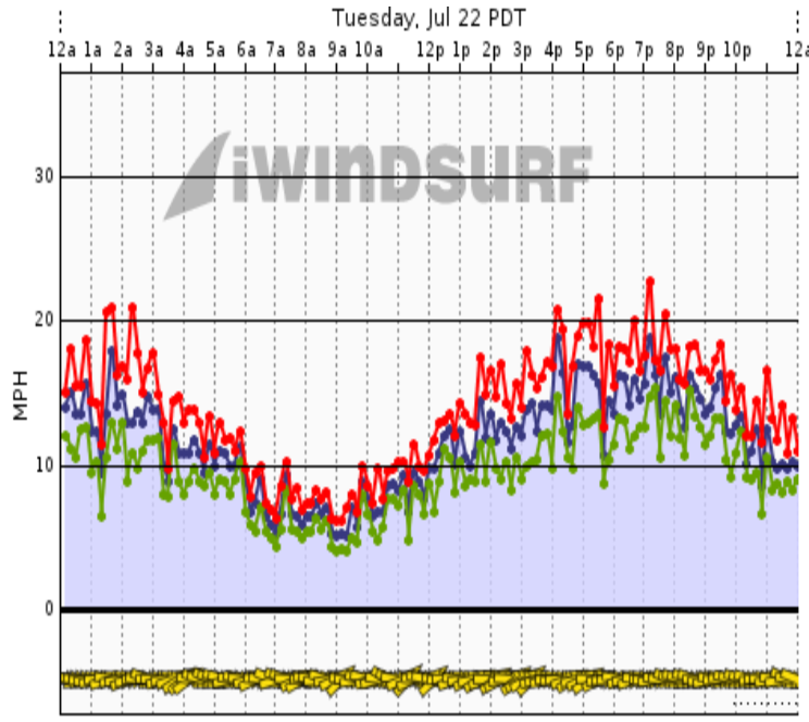
No, the sensor does not lie. Indeed, on days when there are NW ocean winds and a strong pressure gradient towards Stockton and/or Bakersfield it is very accurate.
But when there is WSW wind due to an eddy or Marine Surge or a very strong Sacramento pressure gradient, the Anita Rock sensor will read much higher than the actual winds at the Crissy Field beach and on the water near the sensor. Paradoxically, in such conditions, the sensor does reflect the winds on the water well past Anita Rock.
Our sensor repair crew has been on top of the Anita Rock during such conditions When it is howling at the sensor but only weak to no winds on the water at and well beyond Anita Rock.
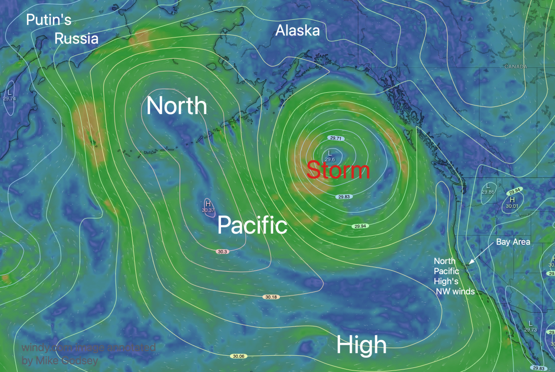
This happens when ocean winds are more WSW especially of there is a flood which makes the water around Anita Rock look even more windless. Then the winds have to travel over the Presidio hills and trees etc. to reach Crissy and the sensor.
Our 1km model often captures this, and if I were forecasting, I usually mention it.
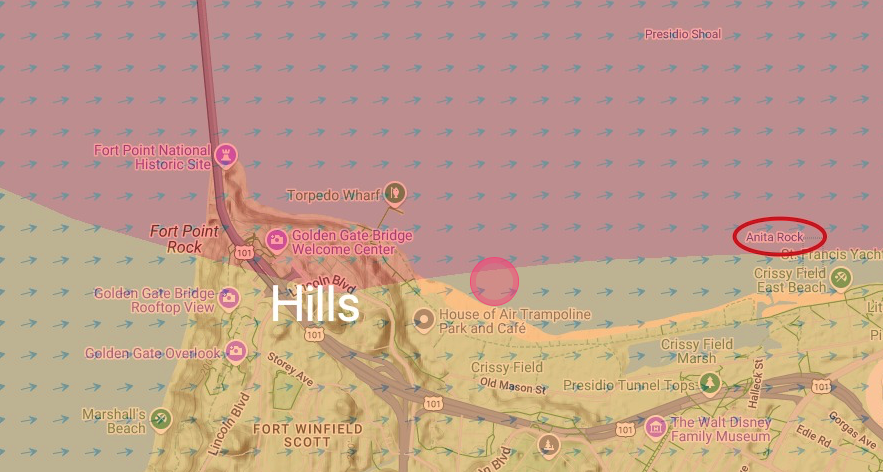
On such days if you hike up the hill near Hoffman Street you will feel the strong winds that are reaching the Anita Rock sensor. The issue is that on WSW foggy days there is a wind shadow that extends from the Presidio hills and trees over the waters from Blackaller buoy #16 to well past Anita Rock. The Anita Rock sensor is sometimes just high enough to be above the wind shadow.
We installed a sensor on the west side of the concrete cofferdam around the S. tower for the America’s Cup just to avoid the Anita Rock sensor wind issue. Unfortunately, we were unable to get permission to keep this sensor location after the race.
In the old days Elizabeth and I used to slog out on large boards a 1/4 mile or more past Anita Rock on such days. And we would find great winds in dense fog. We stopped doing that one day when one day we saw a giant “H” appear in the fog. Then a giant “O” then a “N” and a “D”. We got the hint and stopped windsurfing in such conditions.