Fprecast Decoder: Monday, March 11, 2024
The large-scale winds fade away today as the North Pacific High moves over the Sea of Cortez and the
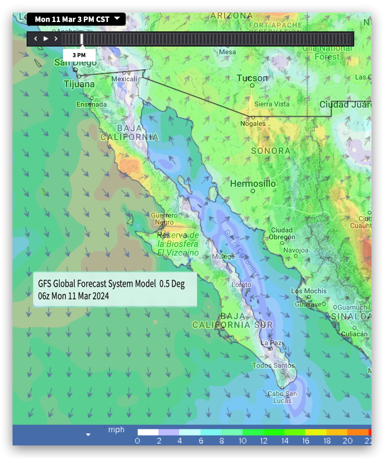
low-pressure south of Cabo disappears killing the wind most of the Sea of Cortez.
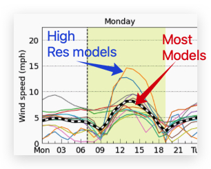
Indeed if you look at all the global low-resolution models they are forecasting sub-teens for Baja’s East Cape.
But the Weatherflow super high resolution 1 km model has La Ventana and Rasta Beach reaching the mid to faint upper-teens.
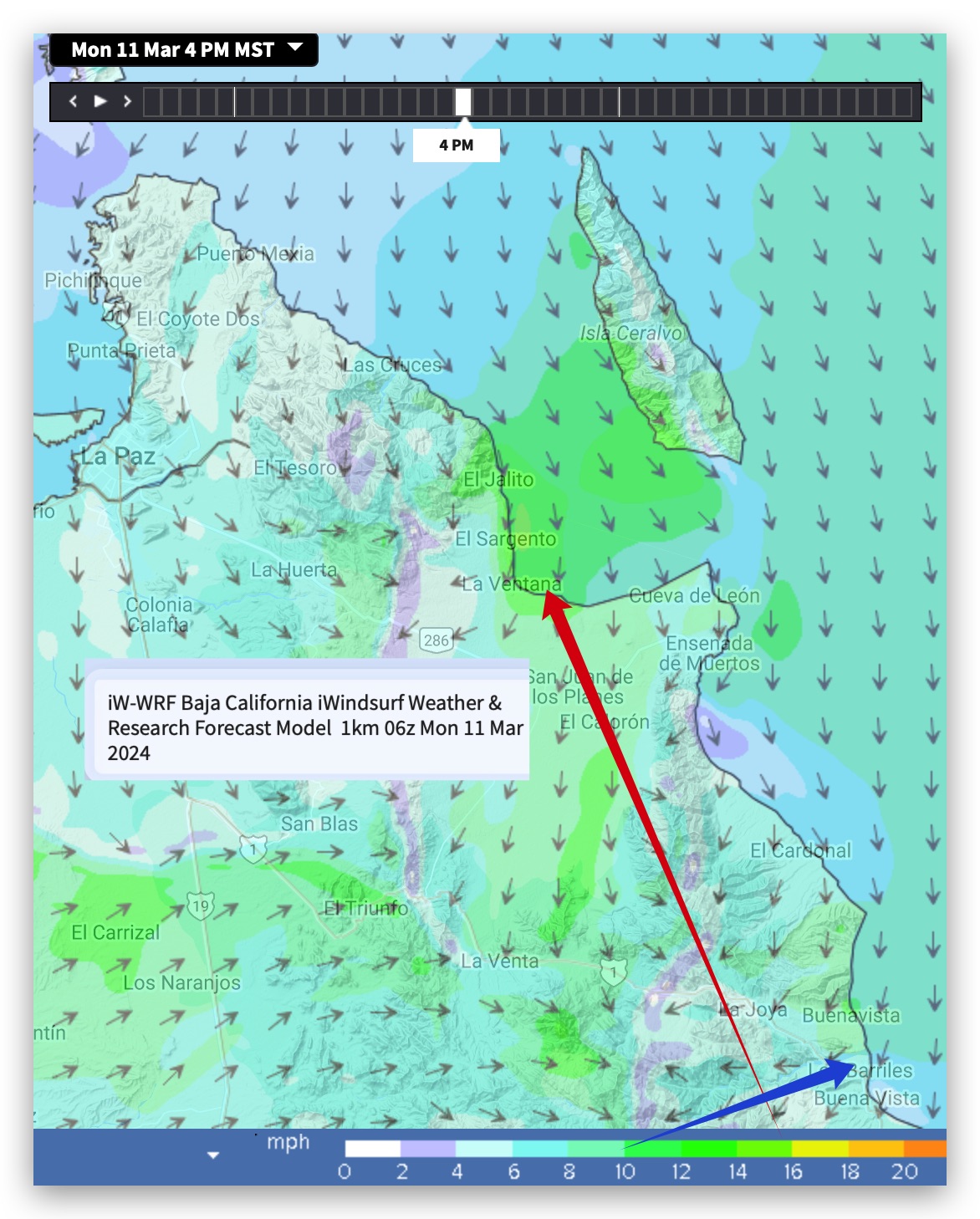
This is because this model can see the Los Planes Valley and the local pressure gradient as that dead-end valley heats later this afternoon.
Los Barriles is weaker since its much larger valley is not dead-end since it opens up near Cabo allowing the low-pressure to escape.
High wispy clouds should barely impact the Coastal Valley heating.
Mild winds continue until the weekend when “El Norte” winds develop in the Sea of Cortez as high-pressure builds in the Four Corners and these winds combine with our Local Sea Breezes.