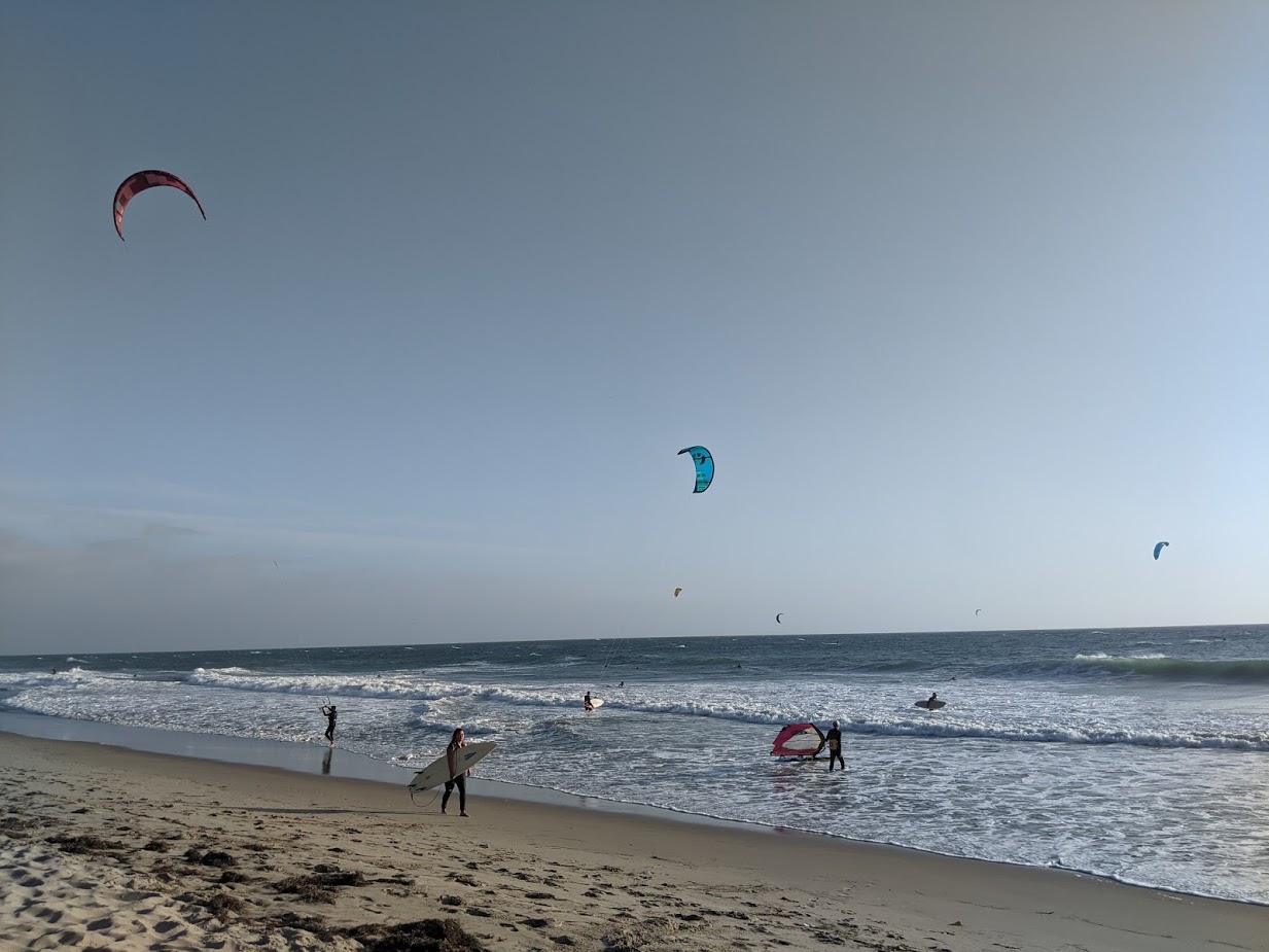
Strong NW winds are bringing waves crashing along the shores of Southern California beaches as the first storm of the winter season has arrived. Wind and kite surfers flocked to Southern California beaches on Friday afternoon as strong NW winds moved into the Bight. The strongest winds reached to Ventura and Northern Los Angeles beaches…

The Western United States has been sitting under a strong upper-level High-pressure system. So we have had a long string of satellite pictures that look like this (below). Hardly a cloud to be found. High pressure pushes the air toward the ground, resulting in descending air that warms and dries out. Also, each night as…

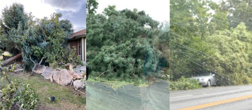
by Meteorologist, Kerry Challoner Anderson This week an unusually strong High-pressure system dropped out of the Canadian Plains into the Rockies. The center of the High trekked through Wyoming and Colorado bringing early season snowfall and setting off strong downsloping winds through the Wasatch Mountains of Utah. The storm had all the ingredients for a…

by Meteorologist Kerry Anderson California is seeing unprecedented heat this Labor Day weekend. Sunday the National Weather Service reported a temperature of 120 in Reseda. Meanwhile, the Santa Barbara shoreline barely broke into the 70s. Why such contrasts? First, we are seeing an astonishingly strong upper-level ridge over the area. Monday’s 500mb map (below) indicates…

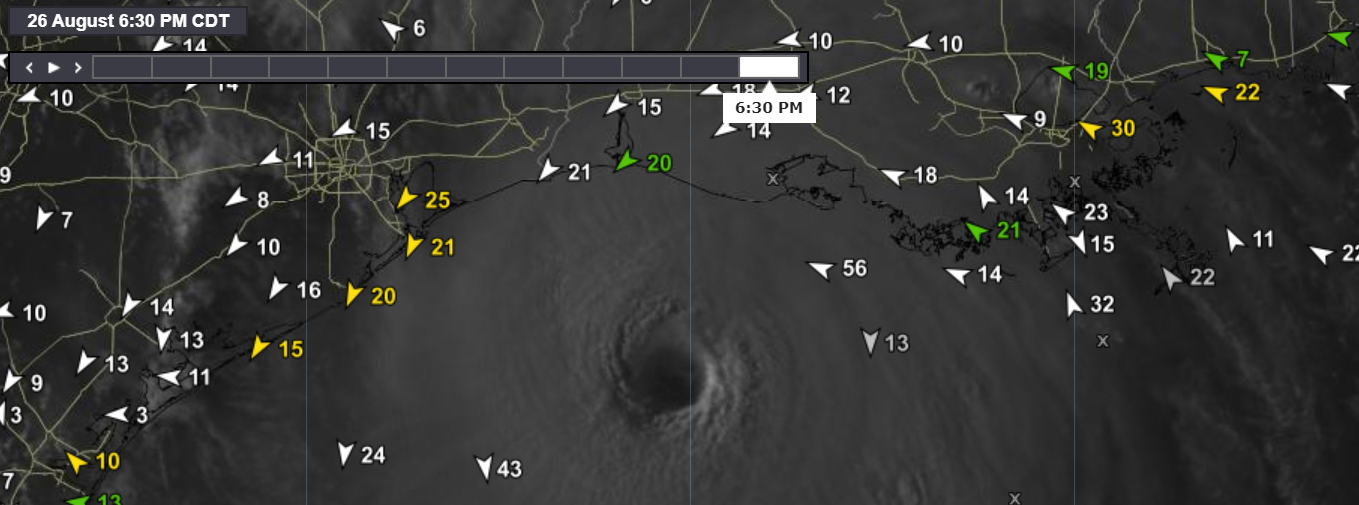
by Meteorologist, Kerry Challoner Anderson As Hurricane Laura approaches the Louisiana and Texas coasts, it brings with it the potential for producing devastating storm surge. Storm surge is created when sustained strong winds flow across an ocean for an extended time period. Those winds push against the water, and since the liquid is free to…

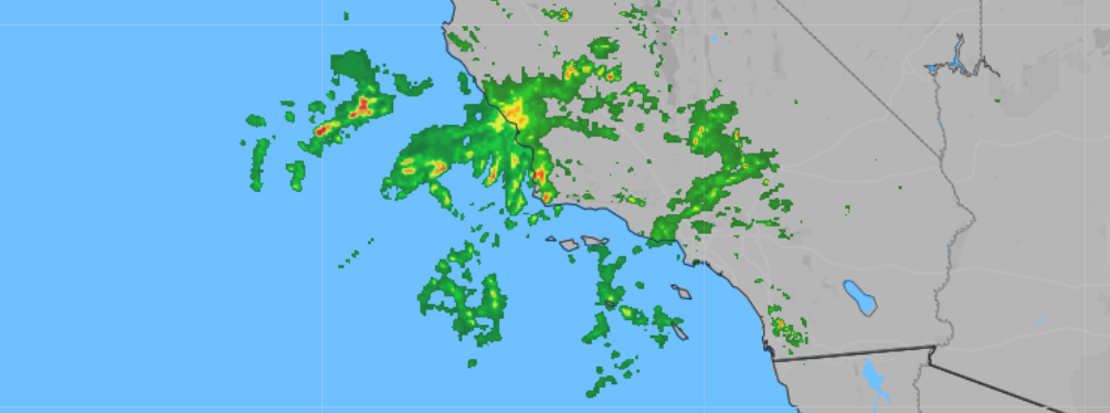
by Meteorologist Kerry Challoner Anderson. It is not usual to have rain, let alone thunderstorms in Southern California in the summer. But when subtropical moisture is tapped that is exactly what we get. Here is a look at why you will need to watch for lightning if you are heading to the beach.

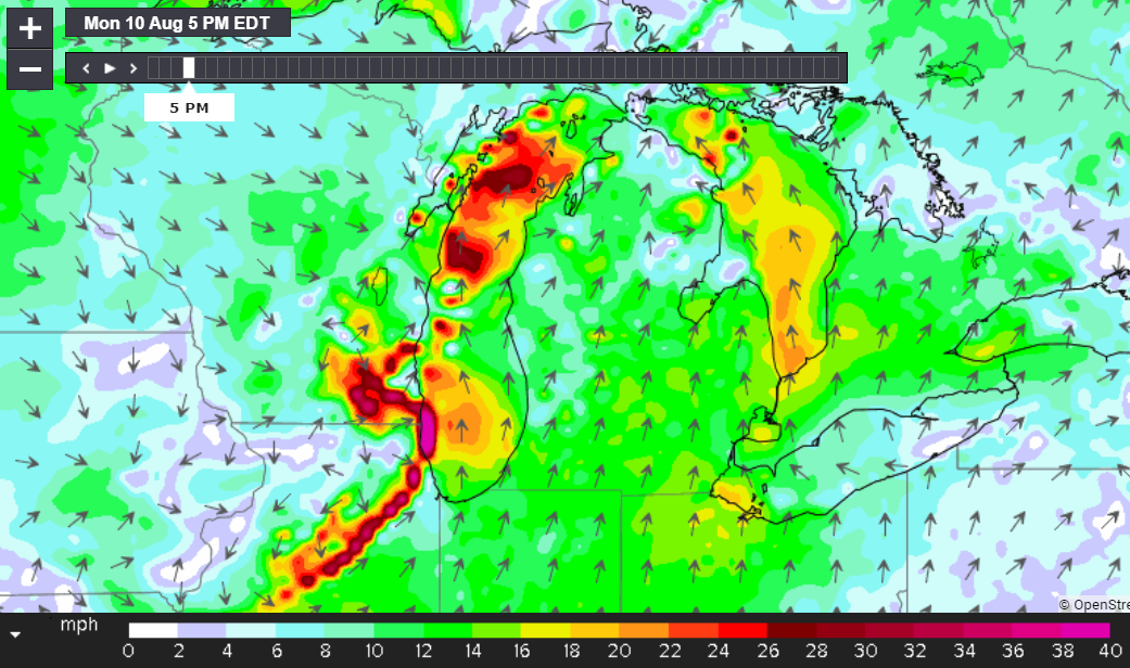
by Meteorologist Kerry Challoner Anderson The Upper Midwest experienced a Derecho on Monday, August 10, 2020. This is not a common event, so you may not be familiar with a Derecho. In fact, this area of the country only sees, on average, one Derecho event per year. Derechos are defined as a line of fasting…

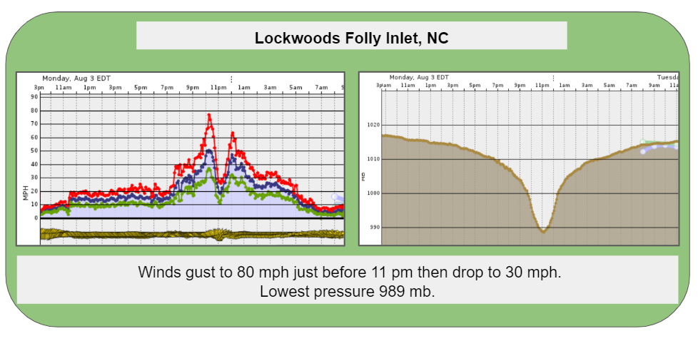
by Meteorologist, Kerry Challoner Anderson Hurricanes don’t come calling often but when they do Weatherflow wants to gather as much data as possible to aid in the study and mitigation of these storms. With our extensive network of stations, we were able to capture Hurricane Isaias as it rolled up the Eastern Seaboard on August…

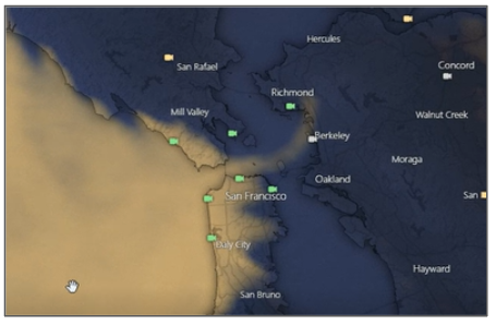
by Meteorologist Kerry Anderson The California forecasts this week have been all about the “marine clouds”. Our winds hinge on the depth, breadth, spin, and reach of these clouds. This is not unusual at this time of the year due to the prevailing High-pressure ridges that frequent our area. It is typical to see large…

We have been advertising a marine surge this week due to a growing eddy. While this was not a classic surge this may be one of the more visually interesting due to the marine clouds that have been lingering along the coast. An eddy has enlarged and strengthened with the help of an upper-level trough. …
