This time of year the North Pacific High is suppose to be shrinking not bulging… why?
by Mike Godsey
You know the routine. The twin Bay Area winds machines, the North Pacific High’s surface NW winds and the thermal winds to the Central Valley that propelled your kite or sail all summer are both suppose to be fading in late September. So why are the Bay Area ocean buoys AND Sherman Island gusting into the low 20’s this morning?
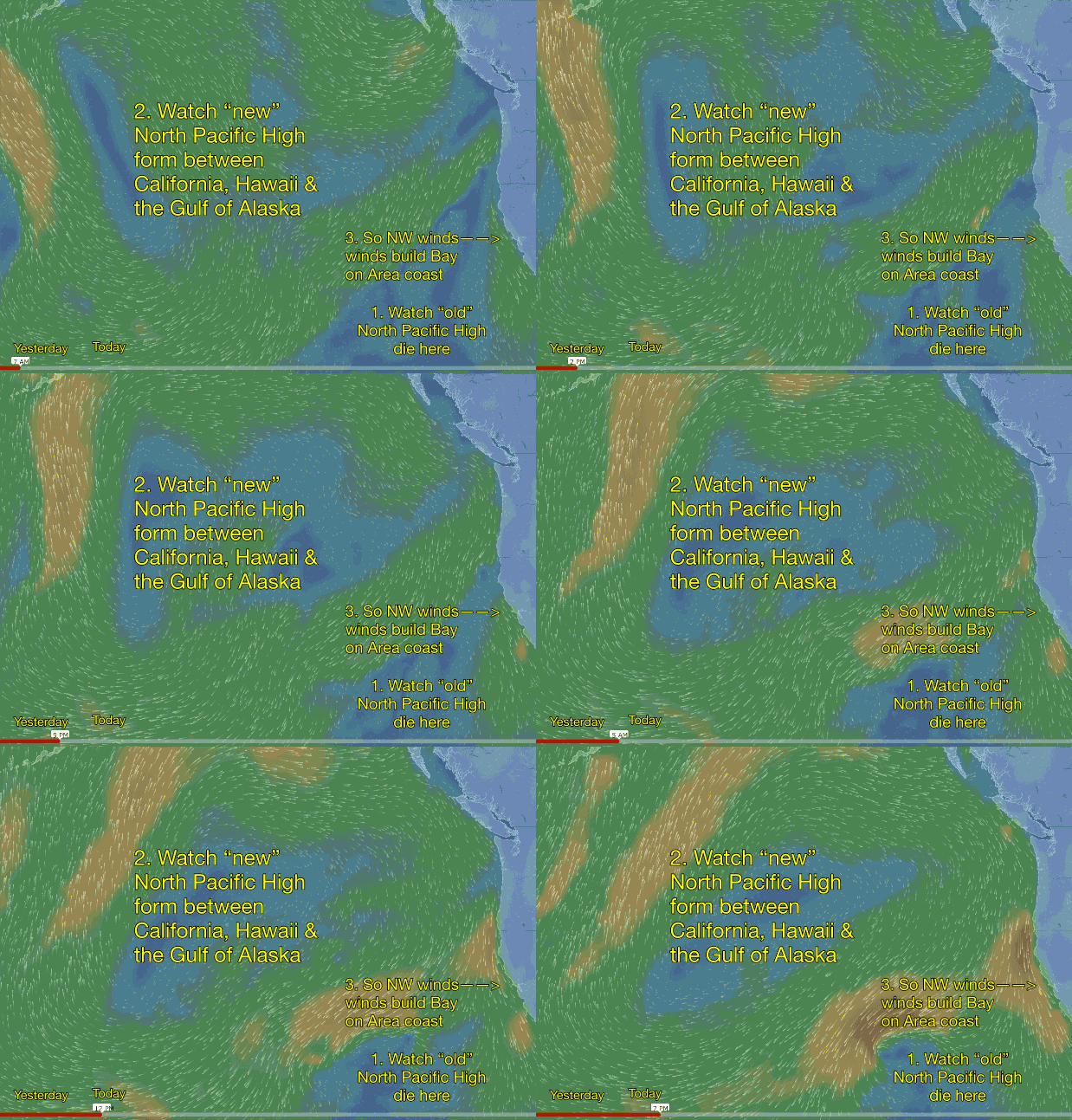
The NW winds have ramped up because the “old” small, weak autumn type North Pacific High has died while a new steroidal NPH has suddenly blossomed over much of the eastern Pacific. You can see this in the animation that covers the time from yesterday morning to late this afternoon.
- First find the clockwise spiraling winds of the old North Pacific High. This has provided the weak NW wind for the Bay Area winds in recent days.
2. Now notice how fast the new North Pacific High formed last night.
3. Now check out how the North Pacific High’s clockwise spiraling winds are delivering NW wind to the Bay Area coast even at dawn and those winds should ramp up to the low 20’s or stronger this afternoon.
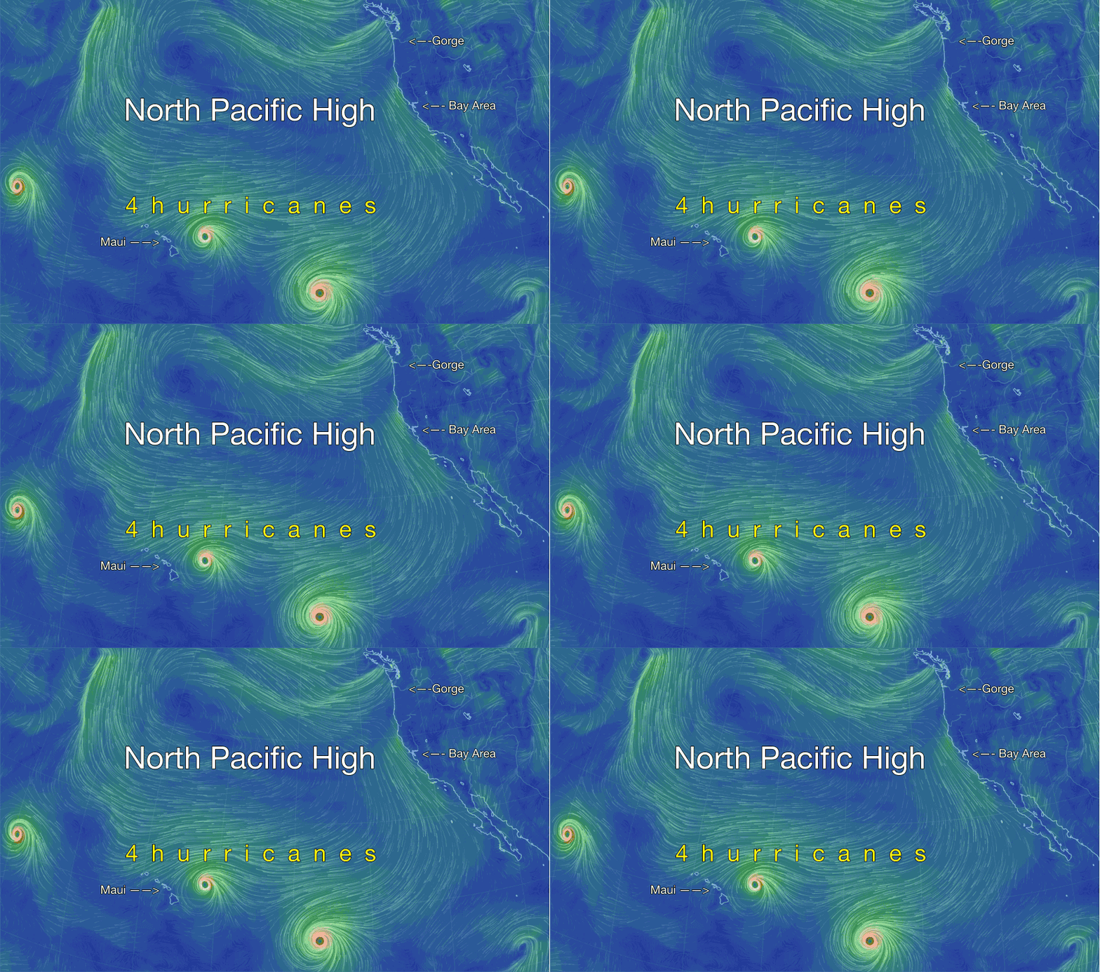
Why is the North Pacific High so huge this late in the season? For the answer check back later today but for now think about hurricanes and El Nino. 

