Forecast: FADE LIKELY! Mild BRIEF barely useful winds reach near Larkspur/Clark’s Brickyards, Flying Tigers/Haskins and Brooks Island and North Tower to Point Blunt.
Now at 11:30 AM: High clouds are streaming over Sonoma and the Napa Valley which was suppose to be our strongest pressure gradient so I am dropping the forecast wind values
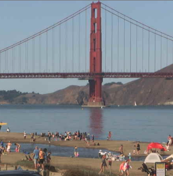
From 7:30 AM: The huge upper ridge that brought record temperatures moves eastward overnight, but a smaller heat producing upper ridge continues the heat. This causes the wind killing low-pressure over the coast in the AM to retreat inland in the afternoon. This sets up a mild pressure gradient inside the Bay. Weirdly, the max pressure gradient is towards Napa so expect BRIEF low to
mid-teens winds at Larkspur/Clark’s Brickyards then a fast FADE. The North Tower to near mid-span reach the upper-teens fading to mid-teens near Treasure Island with low-teens outside of Brooks Island. On the Peninsula expect mid-teens near Flying Tigers/Haskins and maybe The Stick. Chance mid to weak upper-teens in the Coyote and 3rd Channel with weak foil range wind to the launch sites. Waddell may reach the mid to upper-teens outside but nearby NNE winds aloft may make the surface winds unreliable. Heat Bubble issues at most sites will
make the winds up and down and FAST late FADE is likely!