…. Weak storm system departs
by Mike Godsey, mike@iwindsurf.com
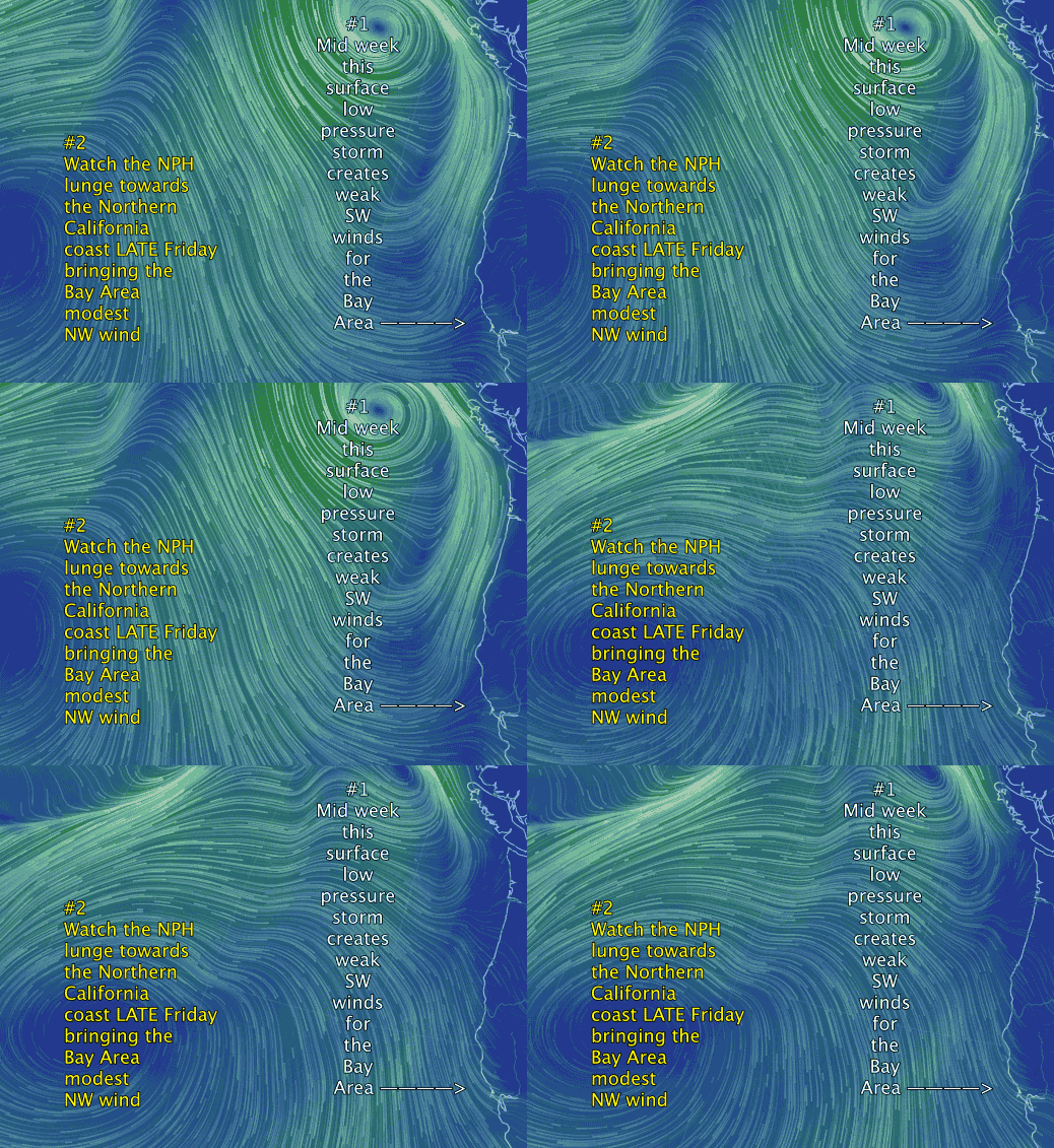
In this video blog from yesterday you saw who the weak storm system currently hitting the Bay Area resulted in the North Pacific High and its NW winds retreating  to the south while mild SW storm winds prepared to hit the Bay Area. As this storm departs late Friday and Saturday we see a NW clearing wind pattern more typical of spring as the storm departs the North Pacific High’s surface NW winds begin a ramp up on the coast.
In the video first find the Bay Area in the lower right corner of the image. Then note the counter-clockwise spinning winds of the storm centered west of Canada on Thursday. Note the southerly winds this brings to the Pacific Northwest and the Northern California coast. Note how the Bay Area is on the very edge of these storm winds and rain.
Now look far to the west where a new North Pacific High has formed. Note the clockwise winds spiraling outwards from the high pressure. Those winds create the trade winds of Hawaii and the NW winds on the California coast.
Far above the storm system and the NPH, at ≈ 18,000 ft, is an upper trough that is steering the storm to the east. And by Thursday night the upper trough will steer over the coast and eastward. Once that happens, as you can see in the second part of the video, the North Pacific High and its NW winds rush towards the California coast.
In the spring this would mean low to mid 20’s wind on the coast and Peninsula. However this time of year the temps and the resulting pressure gradients to the Central Valley and Great Basin are weak so we probably will not see really strong NW wind but it should still be significant NW wind.
