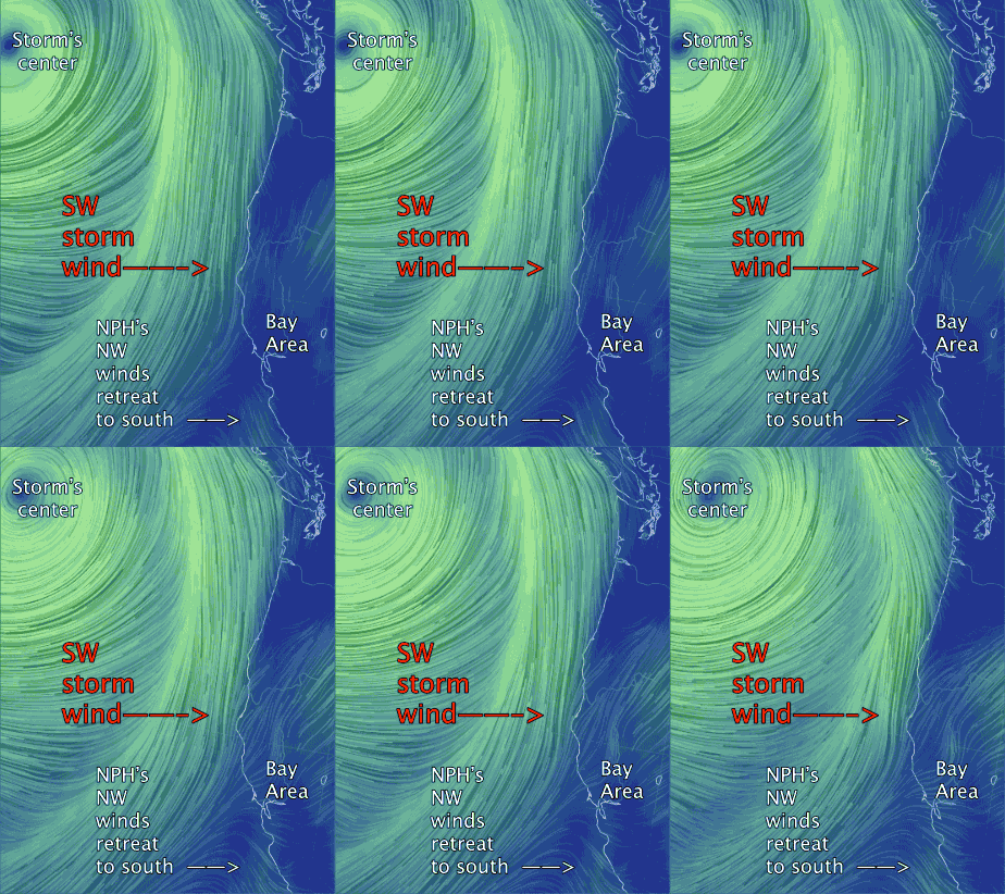
North Pacific High’s surface NW winds retreat to the south.
by Mike Godsey, mike@iwindsurf.com
Think how often in the spring and fall you see words like ” North Pacific High’s surface NW winds retreat to the south in the face of an inbound upper trough”.  Words to that effect have in the forecast the last several days. As you can see in this video animation at the surface there is a huge storm low pressure system that is going to graze the Bay Area tonight and Wednesday. At ≈ 18,000 ft. an upper trough is steering this storm towards the west coast. And as this happens the weak NW winds we seen in recent days disappear until Friday as the North Pacific High and its NW wind shift to Southern California.
Watching the video as it depicts the modeled wind from 11AM to 5PM today. Notice how the NW moves south as the storm winds move closer to the Bay Area.
Once the counter-clockwise spinning storm system passes late Thursday the North Pacific High should rerun to our waters and we see modest NW clearing winds.
