Why does the wind sometimes arrive early and other times later?
by Mike Godsey, mike@iwindsurf.com
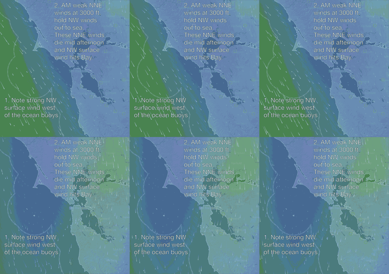
In recent years is has become common to read about NE to NEE winds aloft over the Bay Area in the morning. Usually this observation is accompanied by a statement that the  North Pacific High’s surface NW winds will be delayed or even will not reach the coast. This video illustrates what is happening in this scenario.
Looking at the first half of the video from 7AM today notice the brisk NW wind about 20 miles from shore west of the ocean buoys. Also notice how faint the winds are inside the bay. Later in the day the as the Central Valley heats up the increasing pressure gradient will cause that NW wind to move towards the coast and to curve into Bay.
Some days that NE wind aloft is so strong and endures all day so that it keeps the NW surface wind from even reaching the shoreline. But more commonly the NE wind fades mid day. There are some positive effects of the NE wind. As it flows down the mountains it compresses and heats which helps the pressure gradient so once it dies the NW winds are sucked inland.
This will happen today and by 3PM the NW wind you see in the video will be ripping the coast from Bodega to Waddell and coming through the west and NW facing gaps in the coast range.
