Now at 11:30 AM:
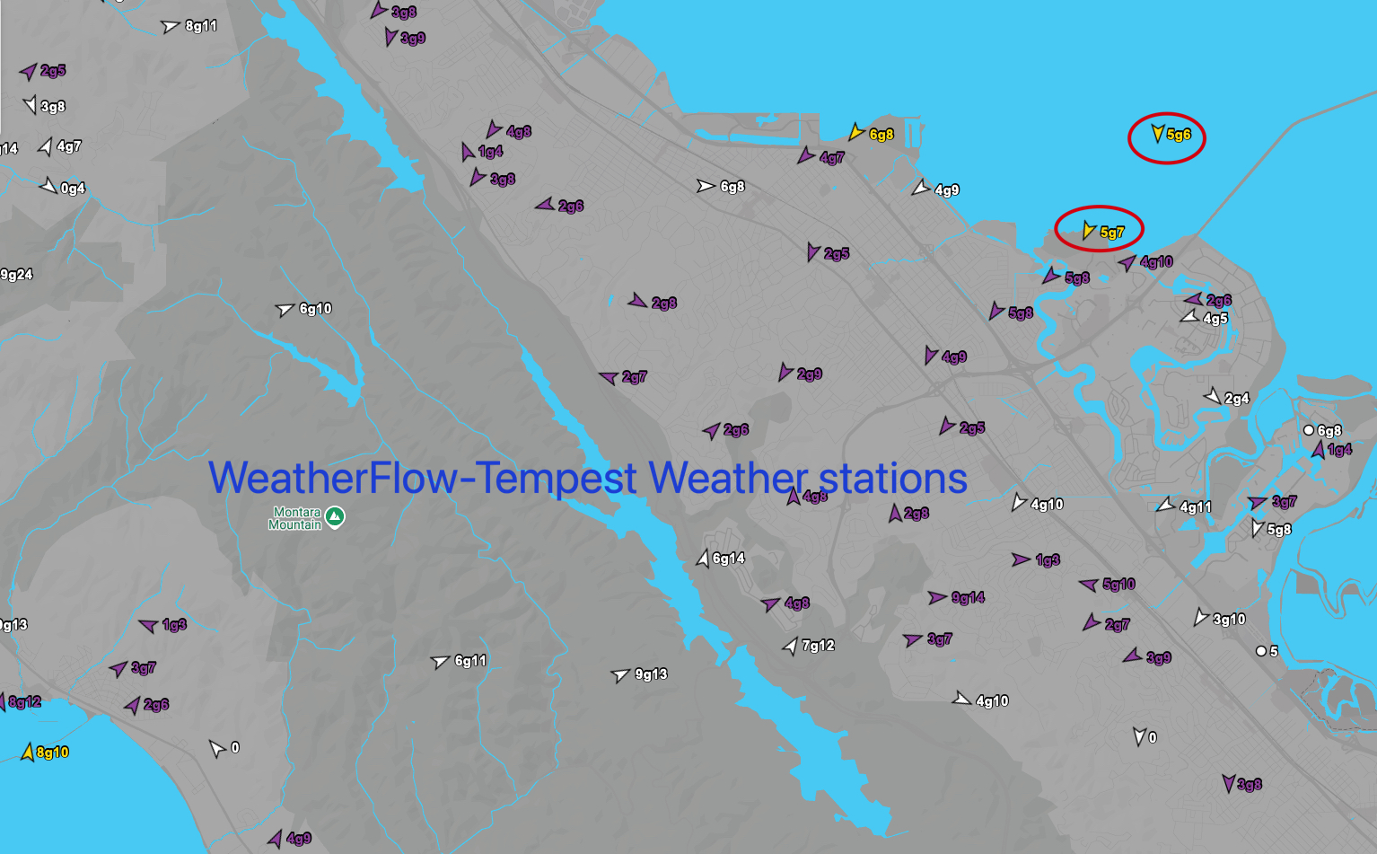
There are white caps outside of Anita Rock and below the San Rafel/Richmond Bridge. Most of the Bay Area has cleared. Our fleet of ≈30 Tempest sensors between 3rd. Ave. and Half Moon Bay are showing NE winds and that usually means WSW PM winds from the Hwy. 92 gap area and unreliable launch sites winds. Given the current picture I am sticking to the current forecast except more optomism about the Anita Rock winds.
From 7:30 AM:
Saturday’s Eddy Wind Recipe:
1- Due to Alaska storm, the North Pacific High’s winds are still angled NNE 100 miles from California.
2- This wind angle creates a 200-mile wide low-pressure west of California.
3- This means a WEAKER S. to N. pressure gradient, so the NNE ocean wind curves into a huge weak eddy from Pismo to the Oregon border.
4- So our ocean buoys have winds in the sub-teens.
5- As the fog burn back, these winds accelerate into the upper-teens to low 20’s towards a Sacramento/Stockton gradient.
6- A milder Bakersfield + Stockton gradient means upper-teens WNW winds in the 3rd. Ave. Channel but often unreliable launch site winds.