Enough of this!
Here is how to save San Francisco’s reputation!
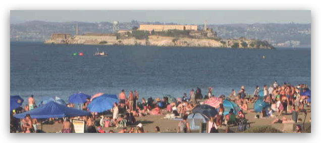
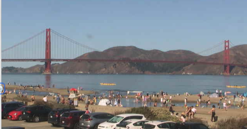
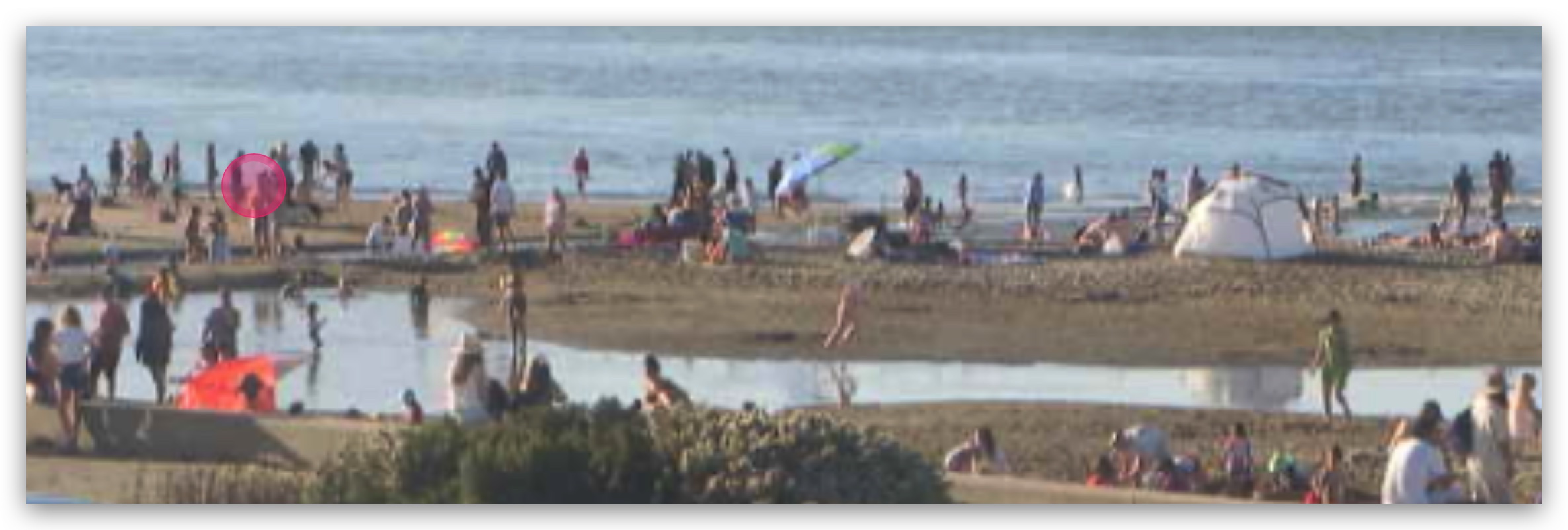
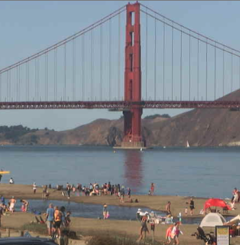
The vast display of exposed skin at Crissy in recent afternoons has to end!
It is bad for San Francisco’s reputation as the windy fog capital of the world, so here is my fix!
1. Coax the heat-producing upper ridge at ≈ 18,000 feet aloft (500 MB) to move eastward. ETA: tonight!
2. Persuade the 1800-mile broad upper trough covering the Gulf of Alaska to shift over the coast, deepening the marine layer and bringing a cool down. ETA: Monday night.
3. Plead with the huge rainy wintry storm hitting Canada to drop a bit southward. ETA: Monday Night.
4. Hopefully, this will push the North Pacific High and its NW wind closer to the San Francisco Bay Area. ETA: Late Monday afternoon.
5. Get the nasty lingering low-pressure over the coast to retreat inland so we have a useful pressure gradient to the Central Valley. ETA Tuesday and Wednesday.
A critical variable will be the locus of the Central Valley pressure gradient.
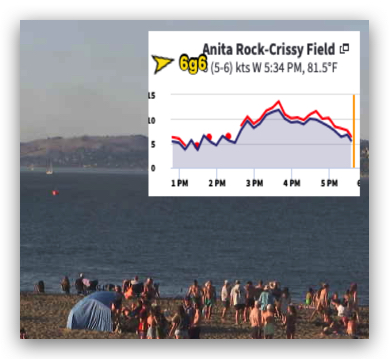
At this time, it looks like that gradient will be towards Stockton, which may narrow the wind focus to Anita Rock, Treasure Island the Stick and maybe Berkeley.
Disclaimer: All of the above is not totally under my control.
Sunday forecast: Faint UP AND DOWN winds far from shore except Treasure Island.