By WeatherFlow meteorologist Shea Gibson.
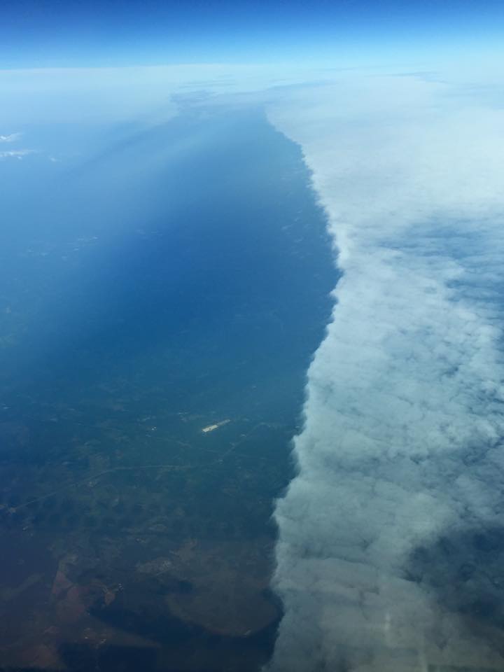
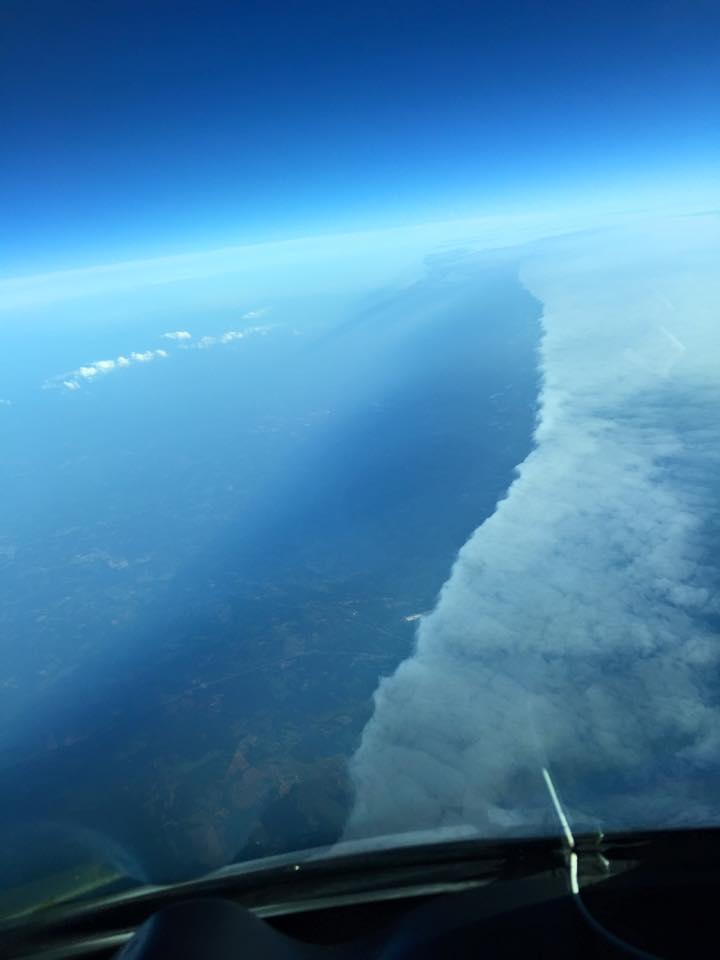
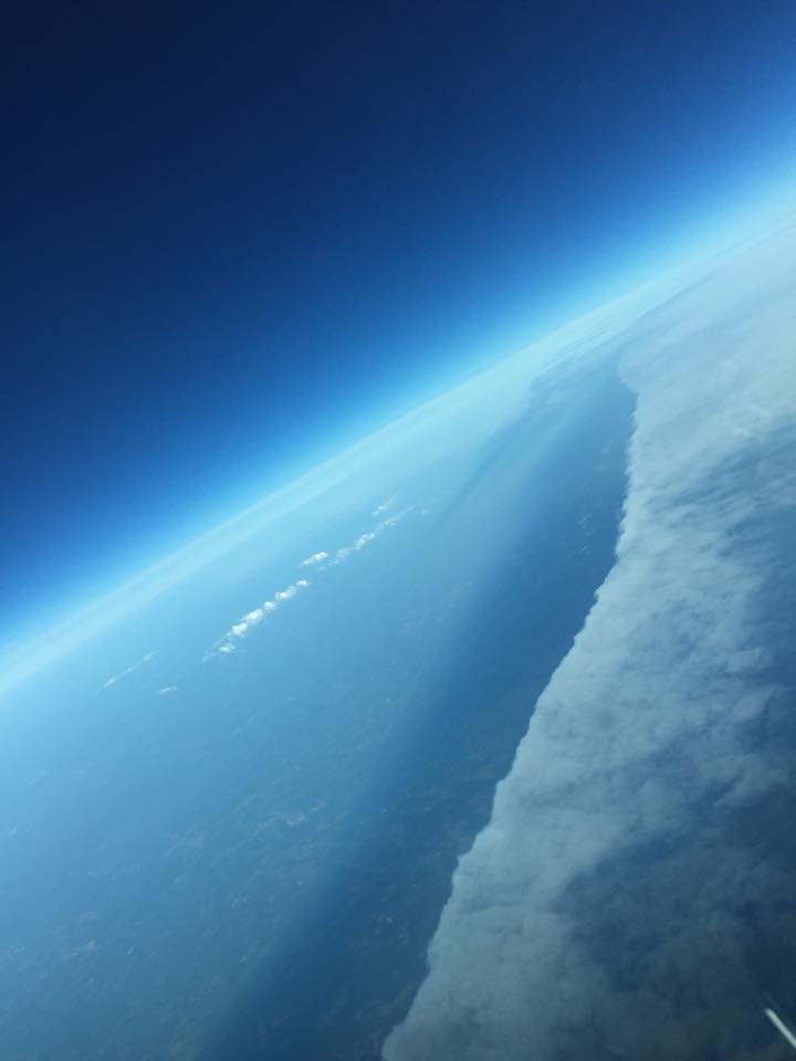
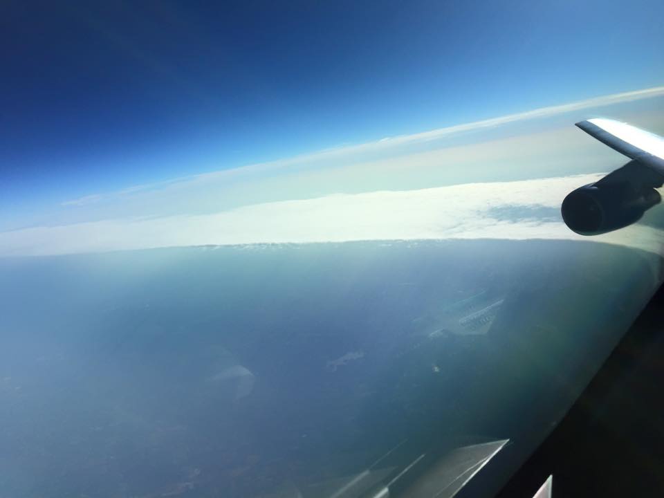
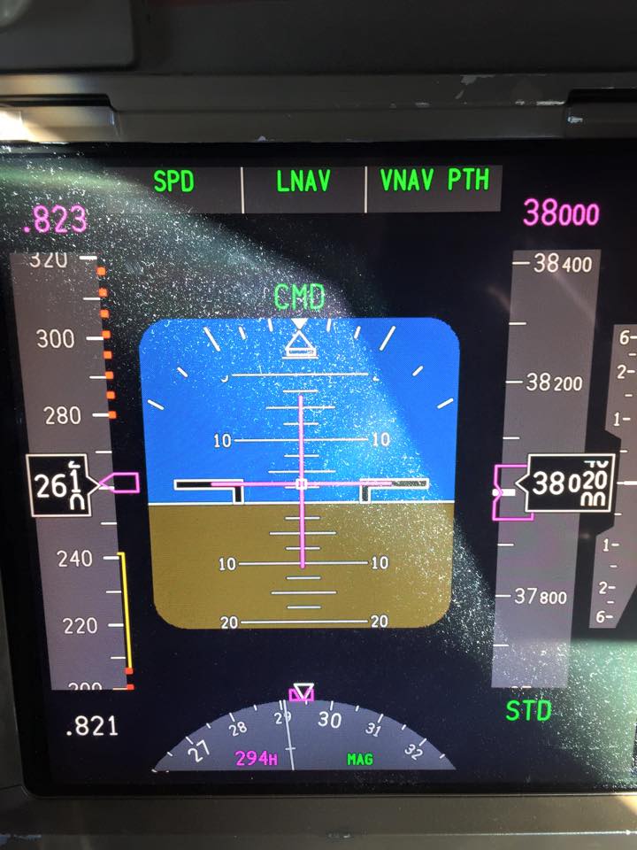
A friend of mine, Mike Maguire, sent me some fascinating pictures of what was believed to be a frontal boundary. He is a pilot and was up at FL380 – or Flight Level 38,000ft at 8:37AM Friday, May 8, 2015.
The following 5 photos taken by Mike Maguire.
Noticing the stratocumulus texture, my first thought was a fog bank or moisture curtain of some sort over a land feature such as a river or high hills range where elevation was a lifting factor. I asked Mike, “Was that over the Chattahoochie River maybe?” He responded, “I don’t think so Shea. We were past Colliers Navaid (IRQ) by about 5-10 minutes on the way to Atlanta”. At that point realized that this was simply suspended above the ground and was peeling back due to sunlight and dryer air filling in behind it.
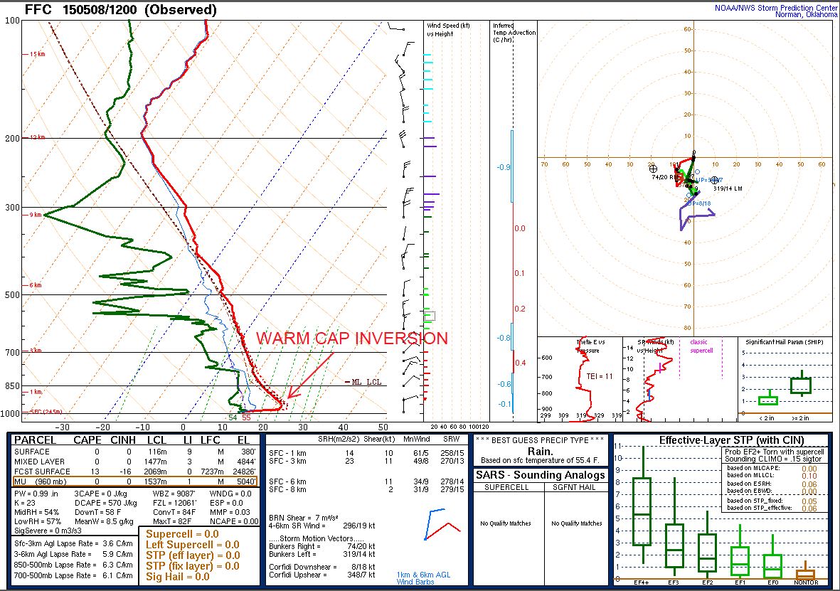
Here is the weather balloon ROAB Skew T to the closest spot at FFC (Peachtree City, GA) from Colliers, SC that would be inline with that observation and guess what? A very pronounced warm cap inversion.
Fairly moist air up until about 600mb (~14,000 feet) where we see the dewpoint shift drastically to cooler temps and air dries out aloft for the most part (which also allowed for this clear shot).
Either way, riddle solved. That would be an upstate significant warm air inversion for sure. Very neat to see it on a Skew T vertical profile from a weather balloon where available, but even better to have a pilot snap a few shots to share!!
Thanks to Mike Maguire for the shout out. Keep up the safe flying – and please don’t stop sharing with us- we truly appreciate it!
And we wonder- with this repetitive cool moist air dammed up along the southern Appalachians creeping down into the piedmont and foothills valleys- does this keep that morning dew trapped underneath and make those peaches the sweetest in the country? Hmmm we might conclude and be happy with that idea.
Cheers,
Shea Gibson
WeatherFlow Meteorologist
Outreach/ New Station Projects
SE Region/ EC
Twitter: @WeatherFlowCHAS

