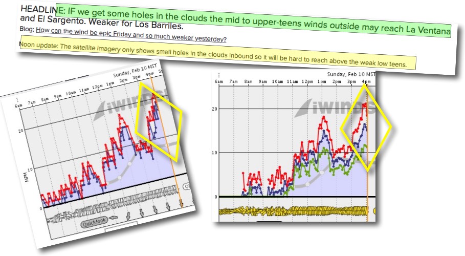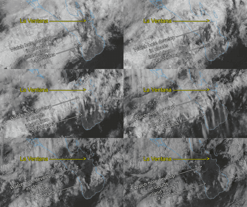
As can see from the forecast headline screen shot the forecast for Saturday said mid to upper teens IF we got some holes in the heavy clouds otherwise the wind would stay way outside. Those winds seemed pretty likely at dawn and by noon I was chickening out on my forecast since the satellite image showed nary a hole in the inbound clouds. But by 3 pm the wind graphs were accelerating and the winds reached the upper-teens.

So what happened? Let’s let the following animation I made from the satellite imagery speak for itself.

