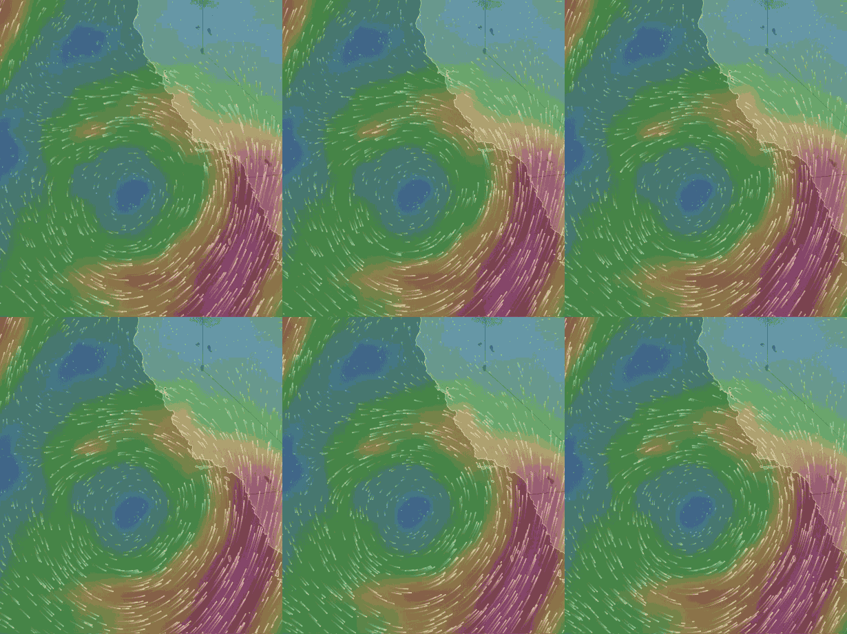
 Watch as an upper trough sucks up a Southern California Cut-Off Low.
by Mike Godsey
In this first animation we are seeing the Cut-Off Low at ≈ 18,000 ft. that is currently west of Southern California. Cut-Off Lows are called such since they pinch off from the largely WEST to EAST winds the circle the earth far above the surface. When this happens the counter-clockwise spinning winds that make up the Cut-Off Low are more or less free to wobble about in a hard to predict fashion.
The position of the current Cut-Off Low has its counter-clockwise spinning winds bringing clouds and a chance of showers to Southern California. Meanwhile below the Cut-Off Low there is a huge dead surface wind zone right where the surface North Pacific High would normally be located in the fall. This set up has caused very light winds for the Bay Area in recent days as you saw in yesterdays blog.
Today the Cut-Off Low you see in this image begins to move to the east. As this happens the North Pacific High begins to reform at the surface and over the next 4 days the North Pacific High’s surface NW winds  begin to build along the California coast and the Southern California bight.
So what happens to a Cut-Off Low when it departs of west coast waters. Or more precisely what happens to make it depart?
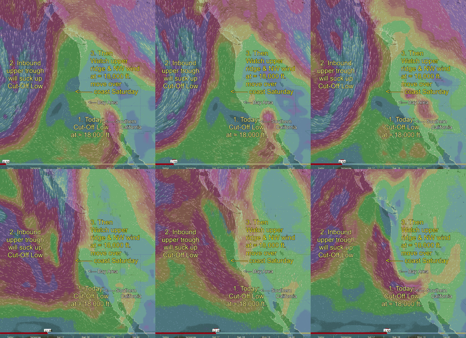
The next animation shows the fate of this Cut-Off Low.First note the day and time data at the bottom of the animation. Looking at the numbered captions notice the Cut-Off Low at 1. and the winds circling the Cut-Off Low.
Now look to the west at #2. You are seeing a southward extending loop of upper level winds or upper trough moving in from the west. Watch as this upper trough slides towards California bring southerly wind at ≈ 18,000 ft. over California.
Watching carefully you can see that this upper trough sucks up the Cut-Off Low and by late Saturday the Cut-Off Low has disappeared.
Now watch as the upper trough itself slides off the screen to the NE. At the same time a northward extending loop in the upper level winds moves in from the west. Note how this brings very strong NW winds over Northern California and WNW winds over Southern California.
Some of the energy from these upper level winds will add a gust factor to the North Pacific High’s surface NW winds which are also ramping up this weekend.

